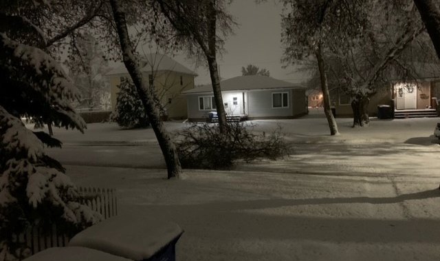
A low pressure system has brought heavy snow to southwestern and central Manitoba, bringing more seasonal temperatures.
According to Environment Canada, total amounts of 10 to 15 cm is expected for Friday, but accumulations will vary as temperatures are near the freezing mark and there may be some melting.
Affected areas will see strong northerly winds gusting to 60 or 70 km/h will likely create reduced visibilities in blowing snow. Due to that, rapidly accumulating snow could make travel difficult over some locations.
The national weather service said to be prepared to adjust driving with changing road conditions and to prepare for quickly changing and deteriorating travel conditions.
To the northeastern portion of the province, there is a freezing rain warning in Island Lake. A warm front has brought a period of freezing rain to the area overnight Thursday, but is expected to move out of the region by Friday morning.
Winnipeg is also expected to see some of the white stuff today. The forecast for Friday on Environment Canada said periods of rain will begin early in the morning then changing to snow in the afternoon, causing a risk of freezing rain, with snowfall amounting from 2 to 4 cm.
The high for Friday in the city is 2C, with the wind chill making it feel like -11 Friday afternoon.
Wind will also be a factor Friday in Winnipeg with northwest wind gusting from 30 km/h to 50 in the morning, then north 50 gusting to 70 late in the afternoon.
© 2023 Global News, a division of Corus Entertainment Inc.