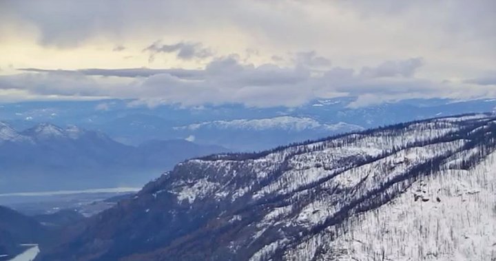
Two weeks from now, data will be released on snow conditions throughout British Columbia.
Likely, the news on Jan. 9 won’t be uplifting, barring an unexpected heavy dump of snow between then and now.
Earlier this month, on Dec. 18, the provincial government gave a brief synopsis of snow totals, stating the unofficial average for its many automated snow weather stations across B.C. was 68 per cent of normal.
In the Okanagan, the snow basin average on Dec. 15 was 71 per cent, up from 53 per cent on Dec. 1.
The region’s snow stations are located along Trout Creek West, Mission Creek, Greyback Reservoir, Whiterocks Mountain, SilverStar Mountain, Brenda Mine and Oyama Lake.
Get the latest National news.
Sent to your email, every day.
However, the province did not that approximately one-third of B.C.’s total seasonal snowpack had accumulated by Dec. 15.
For comparison, on Jan. 1, 2022, the Okanagan had a snowpack level of 84 per cent of normal — the only region in B.C. below normal at that time. On Jan. 1, 2021, the Okanagan was at 132 per cent of normal.
“Overall, October was generally drier and warmer than normal,” the province said on Dec. 18. “The same trend continued for November with a long period of unusually dry conditions for British Columbia in the second half of the month.
“A strong atmospheric river event affected the southern portions of the province in early December and resulted in the most significant rise of high elevation snowpack this season. Since then, precipitation has been relatively light throughout the province.”
Looking ahead, Environment Canada is projecting a 30 per cent chance of snow on Sunday, along with above-normal temperatures, with daytime highs ranging from 1 to 3 C.
© 2023 Global News, a division of Corus Entertainment Inc.


